Greenstone setting
The Schweizer-Reneke Greenstone Belt is one of several Archaean greenstone belts preserved within the Kaapvaal Craton, comprising metavolcanic and metasedimentary sequences deformed into a narrow, steeply dipping corridor.
Regional exploration
Systematic regional exploration across a gold-bearing greenstone corridor roughly 4 km wide and 55 km long in the Kaapvaal Craton, North West province — the district that hosts our flagship Project Jerusalem.
Geological setting
Gold was first discovered in the Schweizer-Reneke district in 1903, and the belt has been worked intermittently ever since — largely by small-scale operations following surface expressions of mineralisation. Modern, belt-scale geoscience has never been applied consistently across the corridor, which is where our regional programme is focused.
Our approach is to build a single structural and geochemical picture of the belt, then convert the strongest targets into rights applications and standalone project studies.
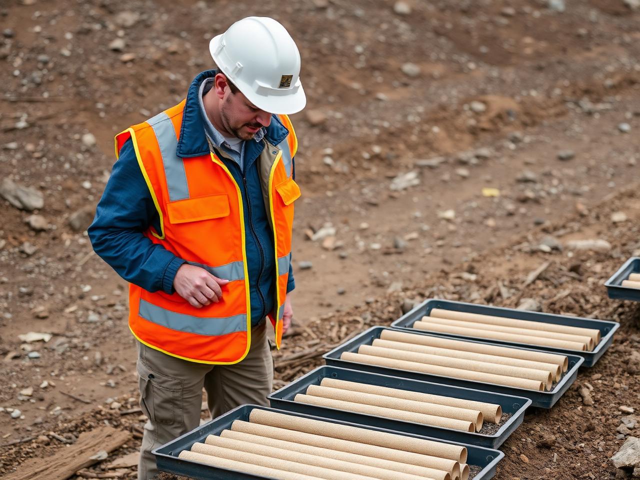
The Schweizer-Reneke Greenstone Belt is one of several Archaean greenstone belts preserved within the Kaapvaal Craton, comprising metavolcanic and metasedimentary sequences deformed into a narrow, steeply dipping corridor.
Gold mineralisation is hosted primarily in siliceous banded iron formation (BIF) and associated quartz-carbonate vein systems, with magnetite enrichment marking favourable horizons.
Mineralisation is strongly structurally controlled — shear zones, local bends and fold hinges act as fluid conduits, concentrating gold where deformation intensity is highest.
Scarce outcrop across the belt has made an accepted regional stratigraphy difficult to establish, leaving substantial ground under-explored by modern geophysical and geochemical methods.
Exploration workstreams
Target pipeline
Screening of open ground and third-party opportunities along strike from known mineralisation.
Literature review, regional geophysics and geochemistry to rank targets before any drilling spend.
Prospecting right applications lodged over ranked targets, with the statutory environmental and biodiversity work packaged upfront.
Targets that survive first-pass drilling graduate into standalone projects with their own study programme, as Project Jerusalem has.
Structurally controlled, BIF- and shear-hosted gold systems comparable to the Schweizer-Reneke Belt occur worldwide, and inform our targeting model.
Downloads & resources
Public summary documents can be downloaded directly below. Detailed technical packs — interpretation figures, survey plans and the target register — are released under confidentiality terms: request access and we will share the current version with you.
Summary of belt geology, structural setting and the 4 km by 55 km gold-bearing BIF corridor.
Download PDFShear-zone and fold-hinge interpretation plates over the regional magnetic image.
Request accessPlanned magnetic, gravity and electrical survey lines with coverage and timing.
Request accessGrid design, sample spacing and analytical protocol for the current geochemistry programme.
Request accessRanked targets with maturity stage, ground status and next-step work recommendations.
Request accessCurrent application status, farm portions and landowner engagement summary.
Request accessInterpretation figures, survey plans, the geochemistry grid, the target pipeline register and prospecting-rights status contain commercially sensitive information and are not published openly. To receive a copy:
Public-domain sources underpinning our regional interpretation.
Responsible exploration
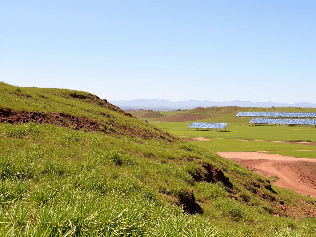
Regional exploration is deliberately sequenced so that the lowest-impact work — desktop studies, geophysics and surface geochemistry — carries most of the decision weight before any ground disturbance. Landowner engagement, biodiversity assessment and rehabilitation commitments are built into every application we lodge.